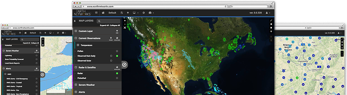
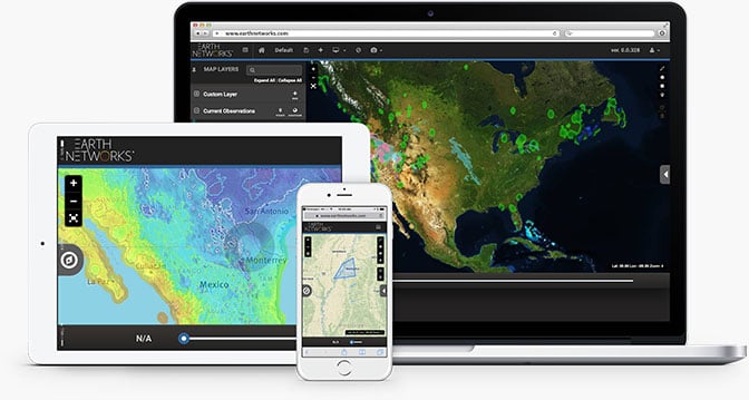

Make intelligent weather-related decisions

Collaborate with stakeholders during severe weather events

Prioritize safety and security

Copyright © 2023 - All rights reserved